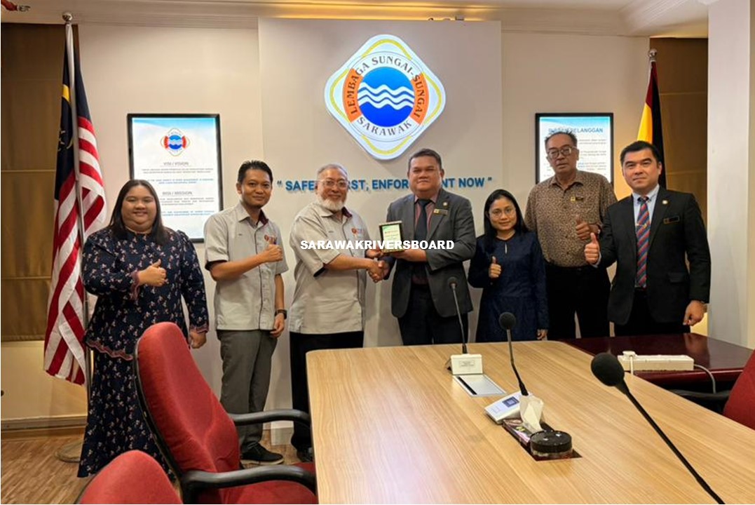
19 January 2026, Kuching – An engagement and briefing session for the project titled “Satellite-based Decision Support System (DSS) for Water Yield Monitoring and Forecasting Towards Sustainable Water Security in Sarawak” by Universiti Teknologi Malaysia (UTM) was held at the Sarawak Rivers Board (SRB) Headquarters, attended by officers from the Riverine Safety and Barrage and Shiplock sections.
The briefing was delivered by Professor Dr. Mazlan Hashim, assisted by Dr. Mohd Rizaludin Mahmud, and focused on integrating satellite-based observations with telemetry data from the Department of Irrigation and Drainage (DID). The study area is Sungai Sarawak, Kuching Division, where datasets from both sources are analysed and compared using graphical representations to assess water yield patterns. The research and study was commenced in 2025, in collaboration with the Land and Survey Department Sarawak, and is expected to be completed by June 2026. The study aims to forecast future rainfall distribution and dry land conditions, providing insights for long-term water resource planning and management.
Challenges during the research and study were also discussed which related to the large volume of data, as the satellite datasets require substantial server capacity and robust infrastructure for storage, processing, and analysis. Therefore, UTM collaborated with relevant stakeholders to obtain accurate data for the study, and among the key agencies involved include the Department of Irrigation and Drainage Sarawak (DID), Natural Resource and Environment Board (NREB), Sarawak Rivers Board (SRB), Jabatan Bekalan Air Luar Bandar (JBALB), Sarawak Waters, and other relevant agencies.
SRB supports the initiative and requested that the study findings be shared upon completion, emphasising the importance for flood risk mitigation, navigation safety and water level monitoring in Sungai Sarawak.
The engagement session concluded at 11:00 a.m.

